Illustrated Map | Conference visual aids
Water in the Desert Conference – Trans-Pecos Map
Client: Environmental Defense Fund
Trans-Pecos Region – West Texas | 2023
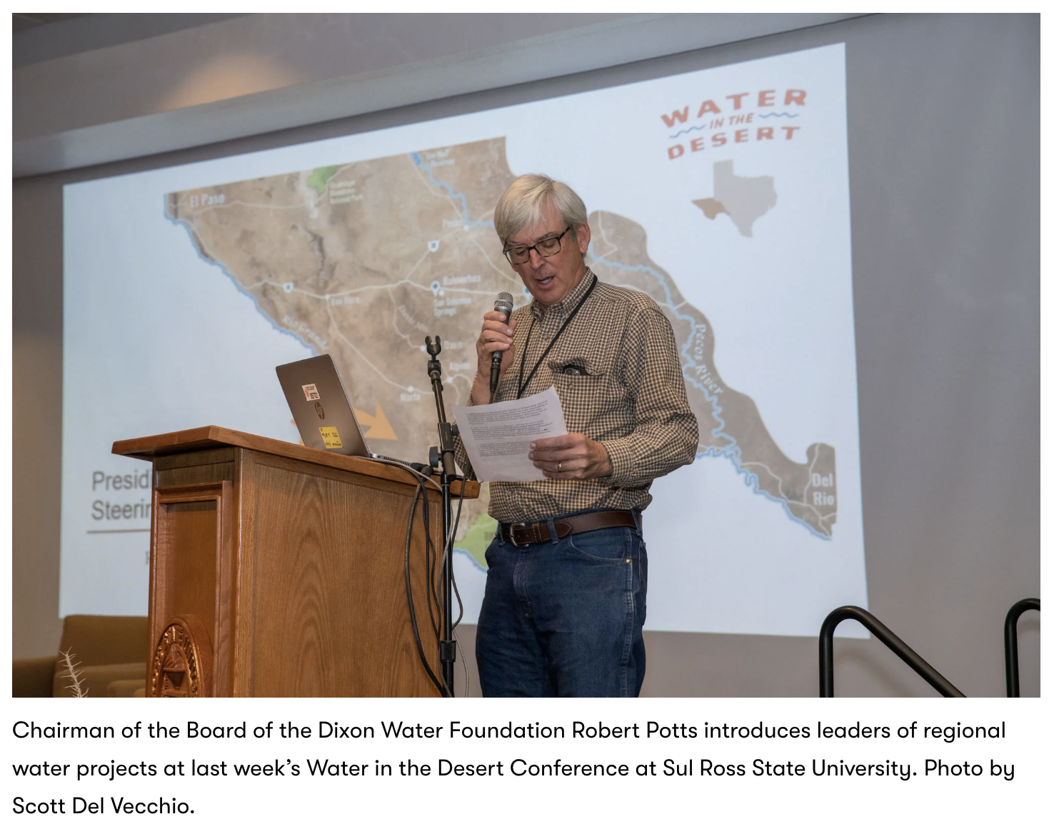
LVBrown Studio assisted EDF and partners in announcing their brand new conference, Water in the Desert, by creating a custom regional map of the Trans-Pecos region. Held January 18, 2024, at Sul Ross University in Alpine, Texas, the conference brought together leaders and thinkers across the West Texas water spectrum, from landowners and legislators, researchers and advocates, and agricultural to energy producers.
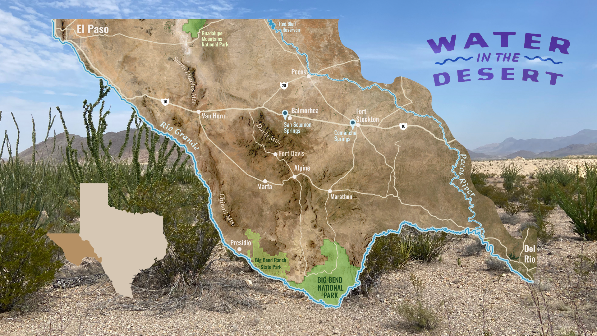
LVB produced a regional map of the expansive desert region defined by the New Mexico border to the north, the Rio Grande River to the southwest, and the Pecos River and edge of the Chihuahuan desert to the east.
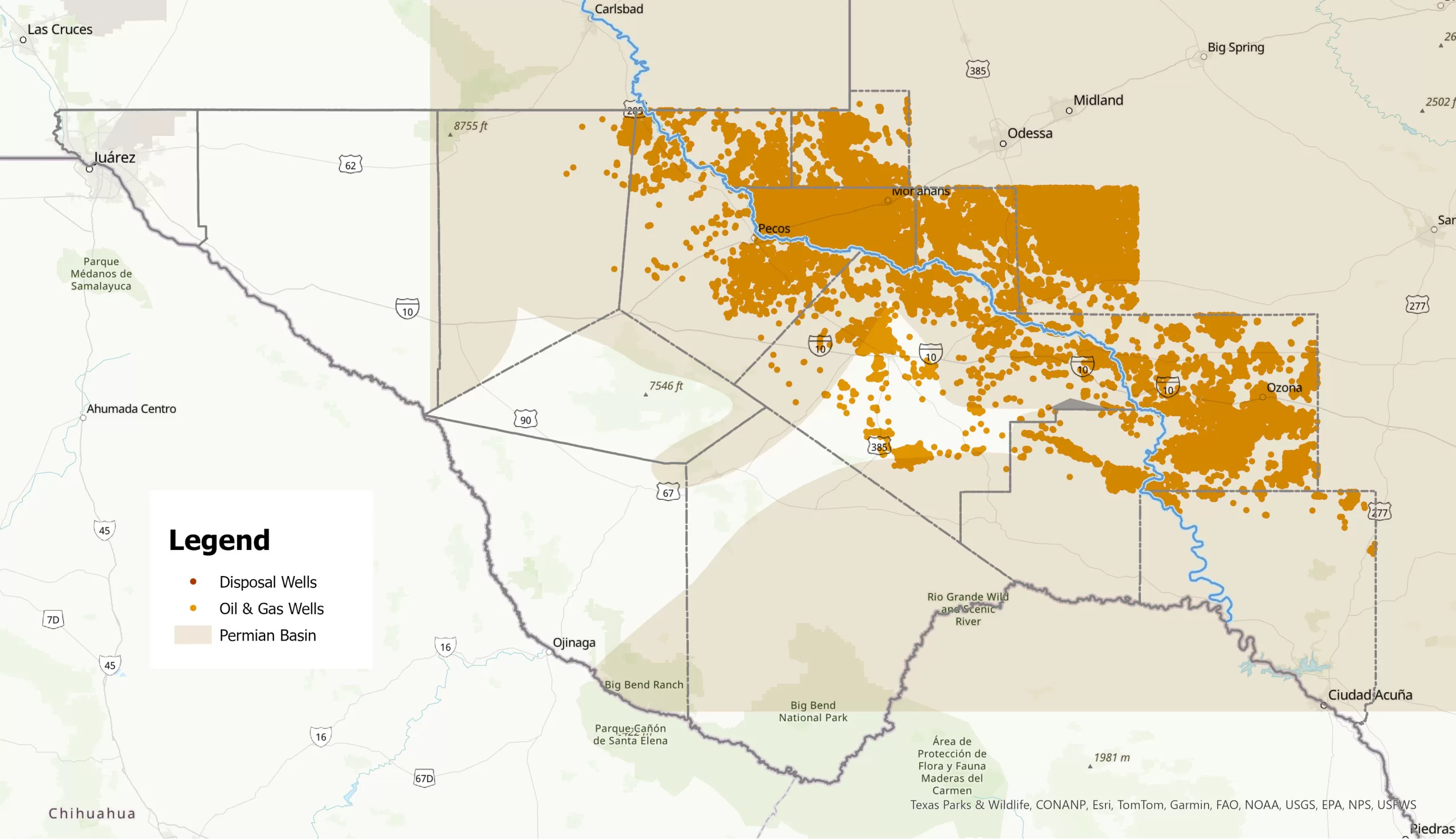
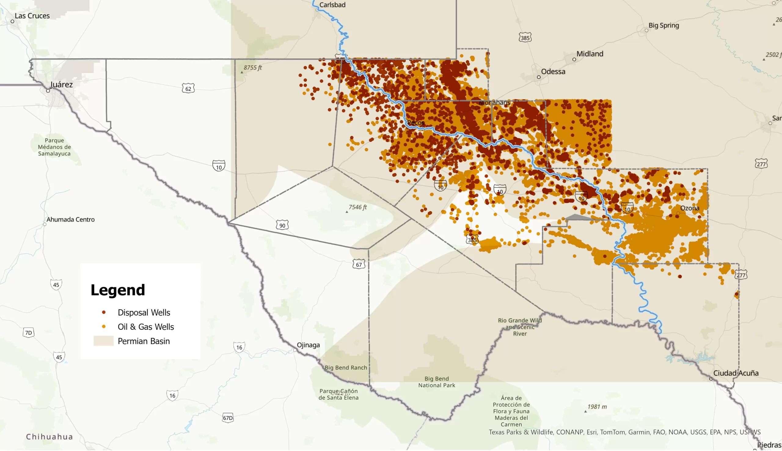
The maps were used in conference promotional print and web products and as a backdrop and reference visual aid in conference title slides. In addition to the overall map, LVB prepared a GIS map highlighting the distribution of oil and gas wells and disposal wells in the Permian basin, drawing from the Texas Railroad Commission’s state-wide wells database.


Click image to expand and scroll through maps.


