Illustrated Map
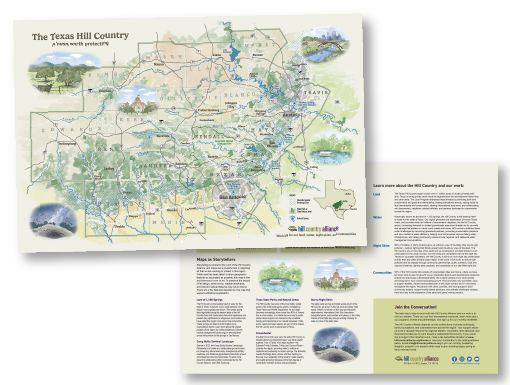
Texas Hill Country Illustrated Map
Client: Hill Country Alliance (HCA)
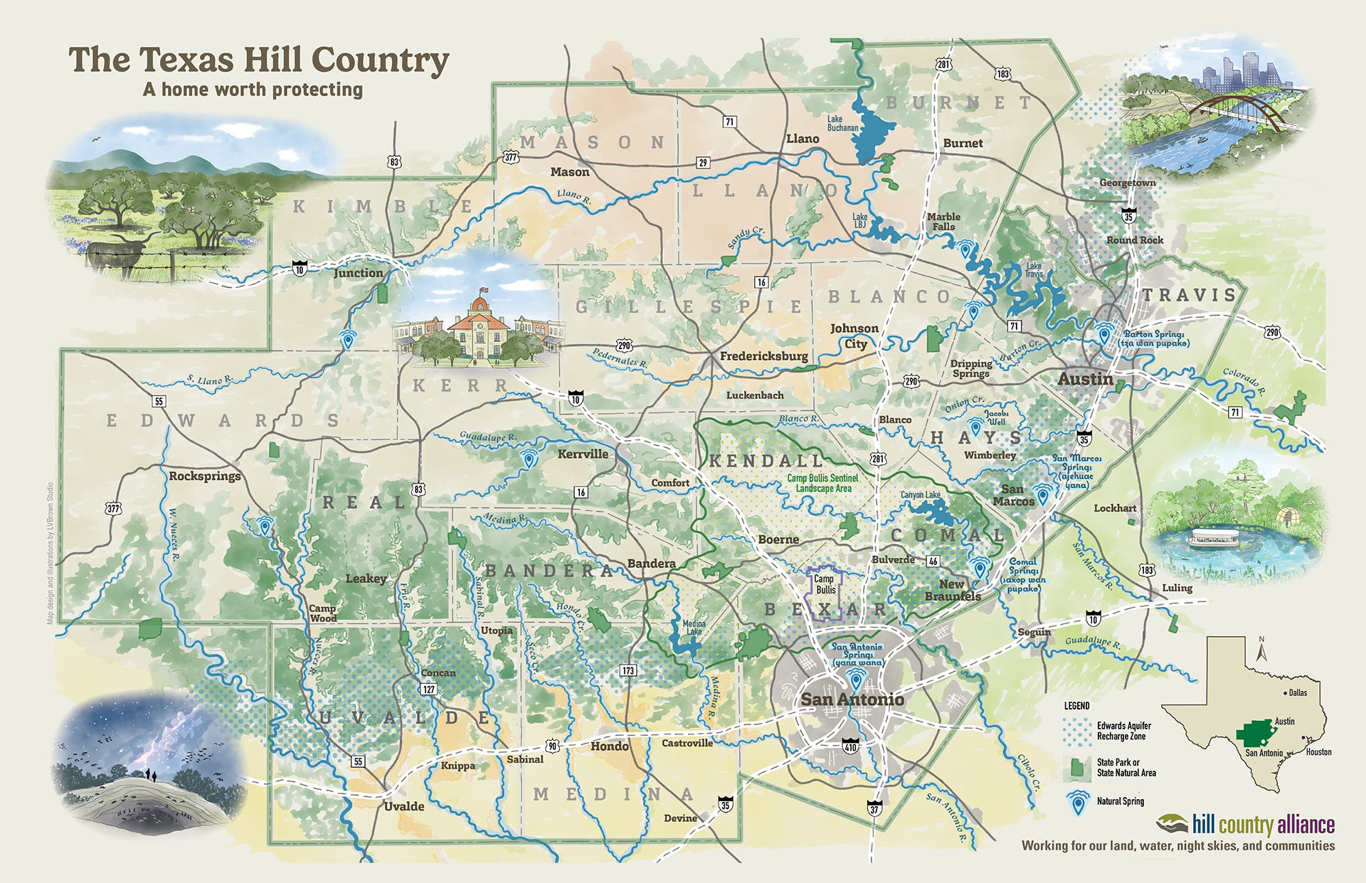
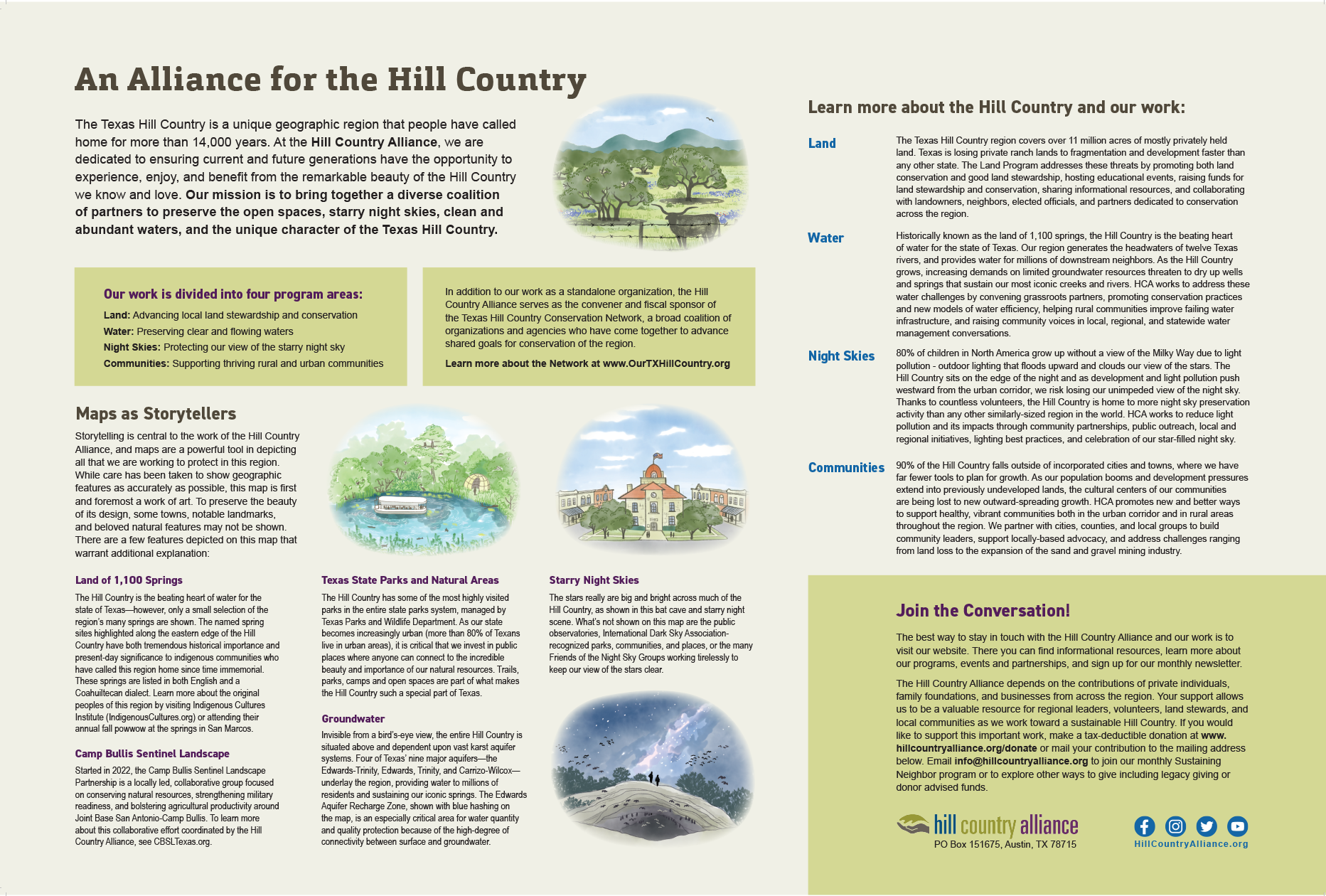
The Hill Country Alliance challenged LVBrown Studio to create an illustrated map of the conservation organization’s 17-county focus area. The map aimed to highlight Texas Hill Country’s natural and cultural heritage and serve as a storytelling touchstone to discuss HCA’s four program areas: Land, Water, Night Skies, and Communities.
LVB used geospatial layers from GIS to interpret land and water features into a digitally illustrated map. We used a combination of digital watercolor, colored pencil and vector drawing techniques. Five illustrated landscape vignette sketches surround the map and offer a glimpse into the character of the program’s themes and resources. LVB also provided graphic design services for both the map back and front.
The final map has multiple uses, including end-of-year membership appeals, technical reports, HCA merchandise, and social media public awareness campaigns. A poster-sized map was soft launched at HCA’s Fall 2023 Leadership Summit and is now available for purchase. Shop the HCA online store to order a print of the poster-size map for your home or office today!
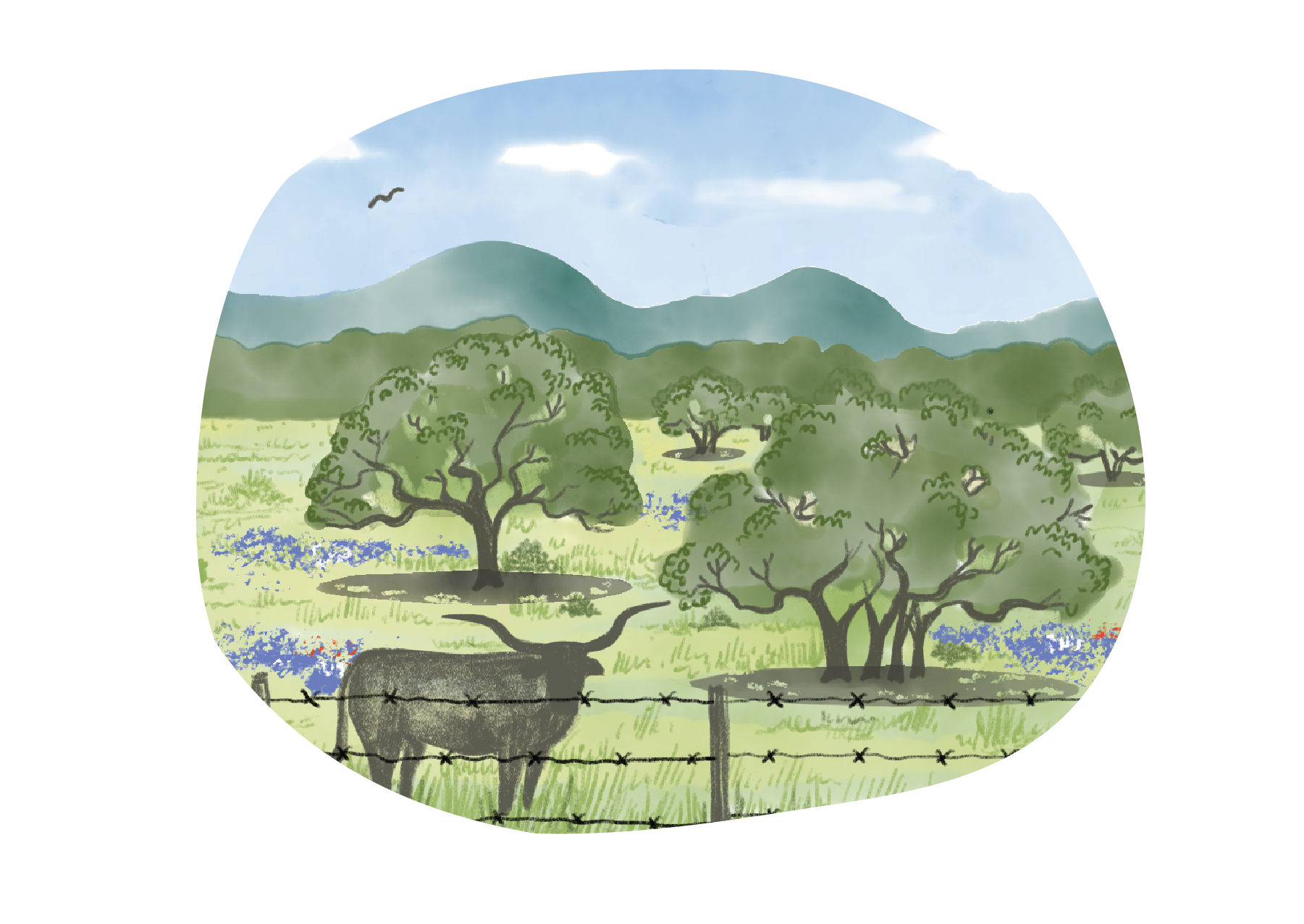
Land
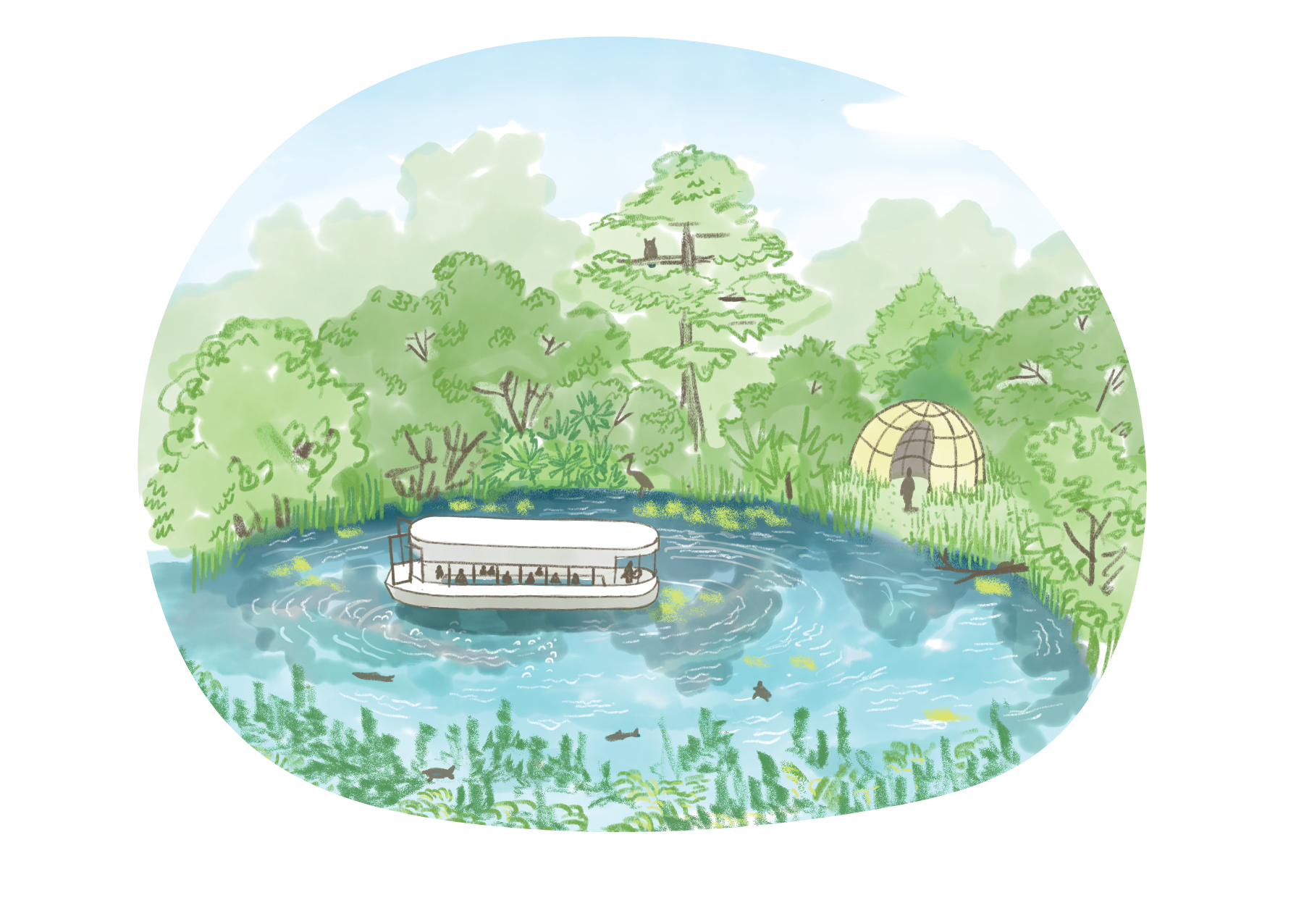
Water
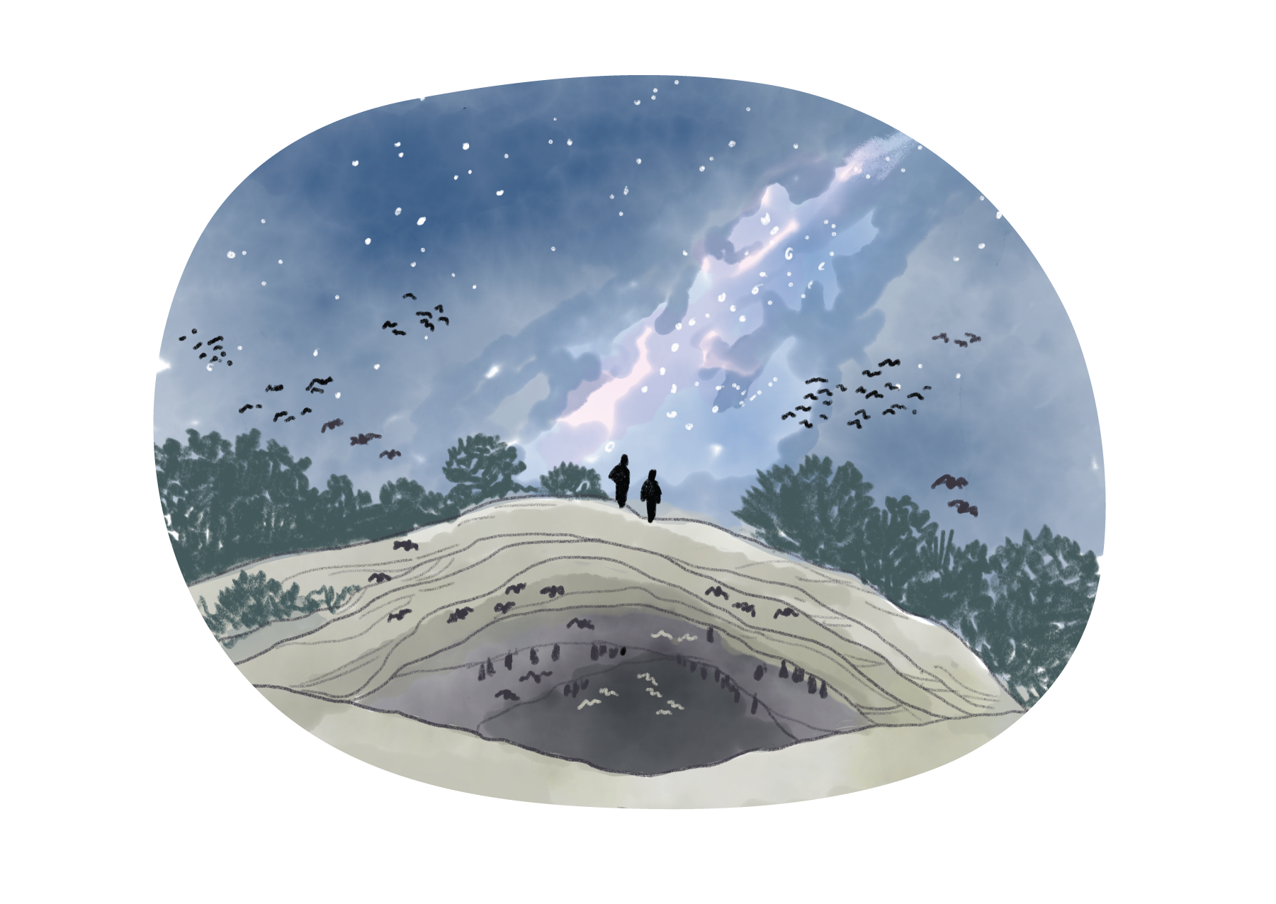
Night Skies

Communities
Click image to expand and scroll through maps.

