Illustrated maps | Nature Preserve Maps
NATURE PRESERVE TRAIL MAP DESIGN
Client: Lake Forest Open Lands Association
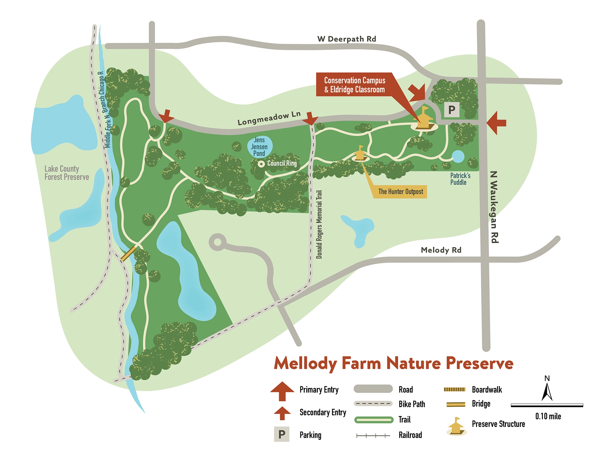
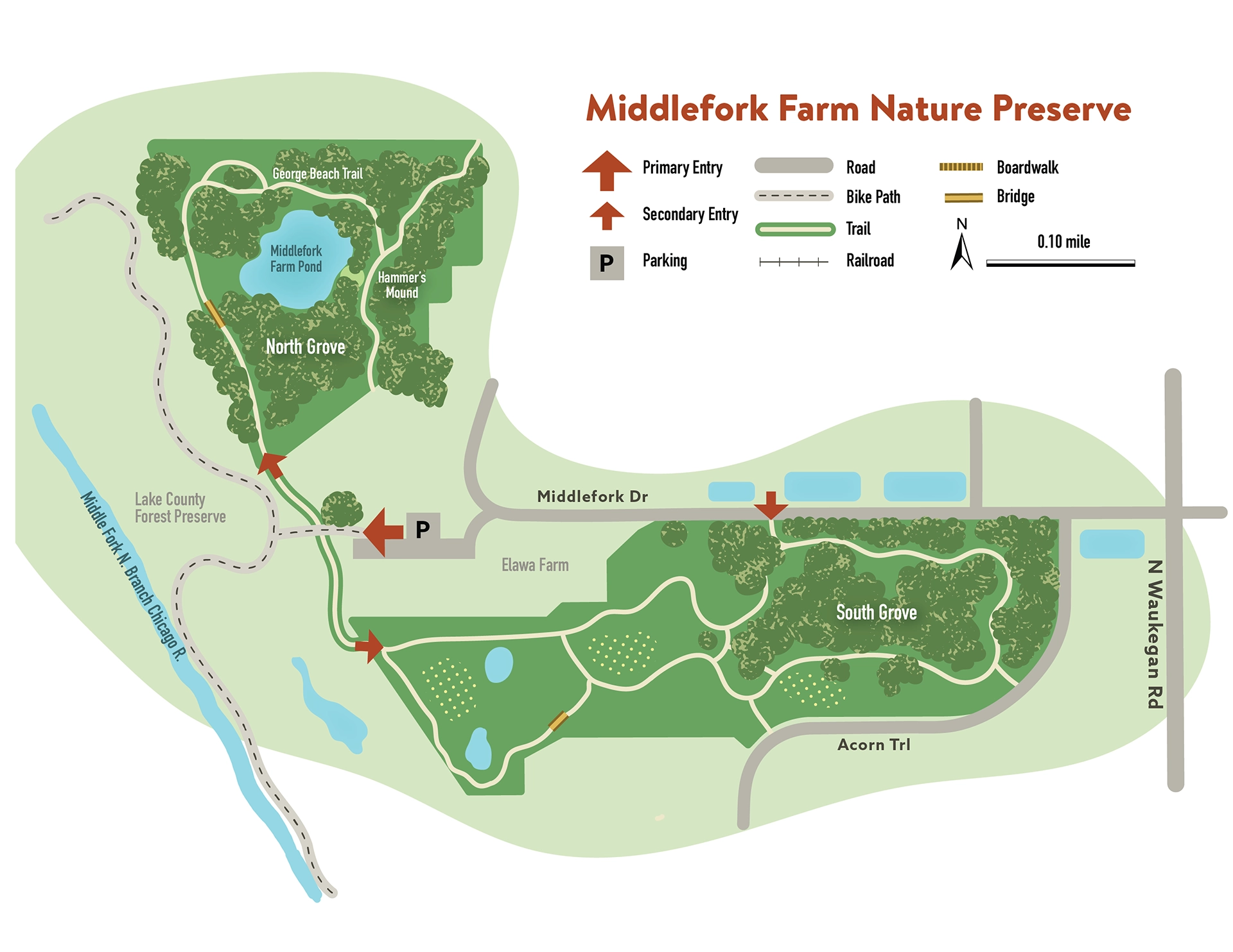
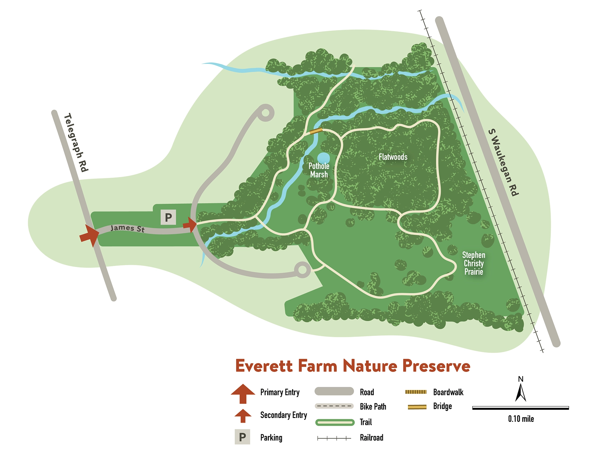
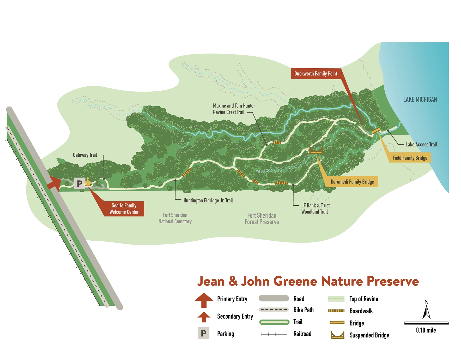
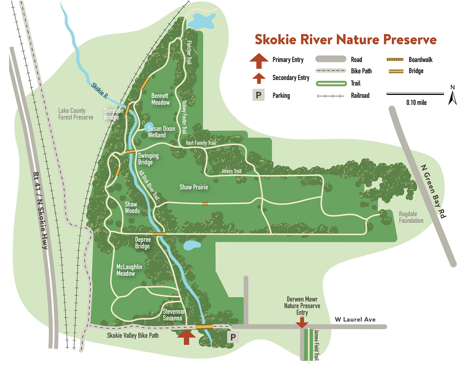
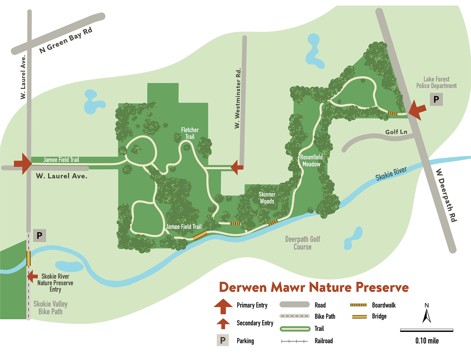
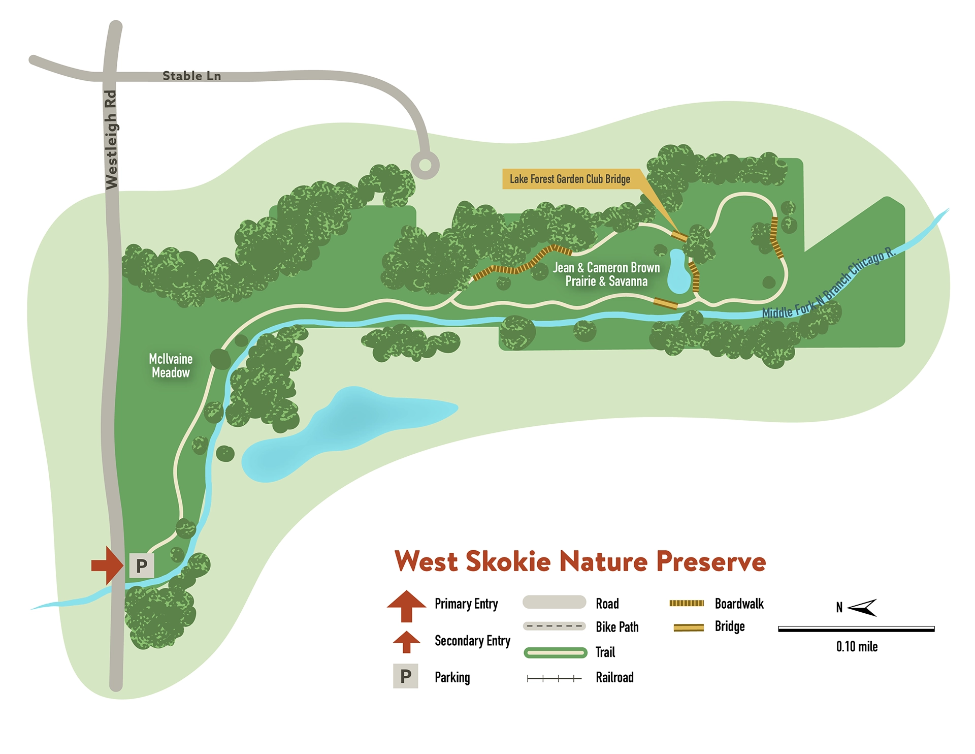
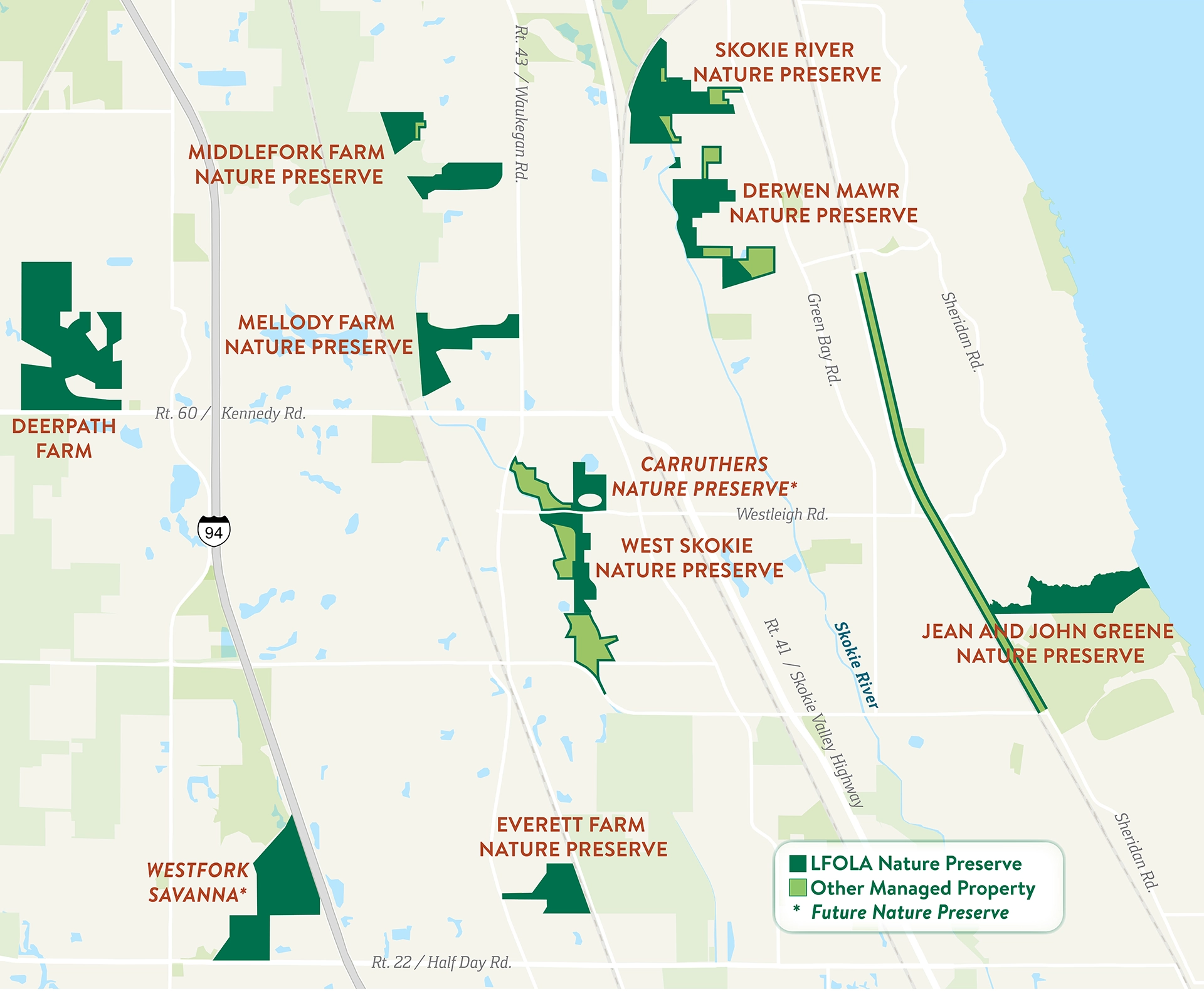
LVBrown Studio provided vector-based map illustrations for seven nature preserves in the northern Chicagoland area managed by the Lake Forest Open Lands Association. The mapping and graphic design project aimed to refresh their existing trail maps to accurately reflect updated parcel boundaries and trail systems while maintaining a clean and simple design aesthetic.
LVB created a regional reference map of the overall land holdings and individual maps for each preserve. We used GIS geographic data to extract boundary and trail data and interpreted aerial imagery to delineate open meadows, woodland, surface water features and park structures.
We produced the final map art in Adobe Illustrator and Indesign. Vector-based design allows the client to scale the art for multiple uses, such as their website, brochures, foldable print maps, and poster-sized outdoor maps for trailhead kiosks.
Click image to expand and scroll through maps.

