INTERPRETIVE SIGNAGE DESIGN | Preserve maps | Environmental illustration
Greene Nature Preserve Interpretive Signage
Client: Lake Forest Open Lands Association (LFOLA) | 2022
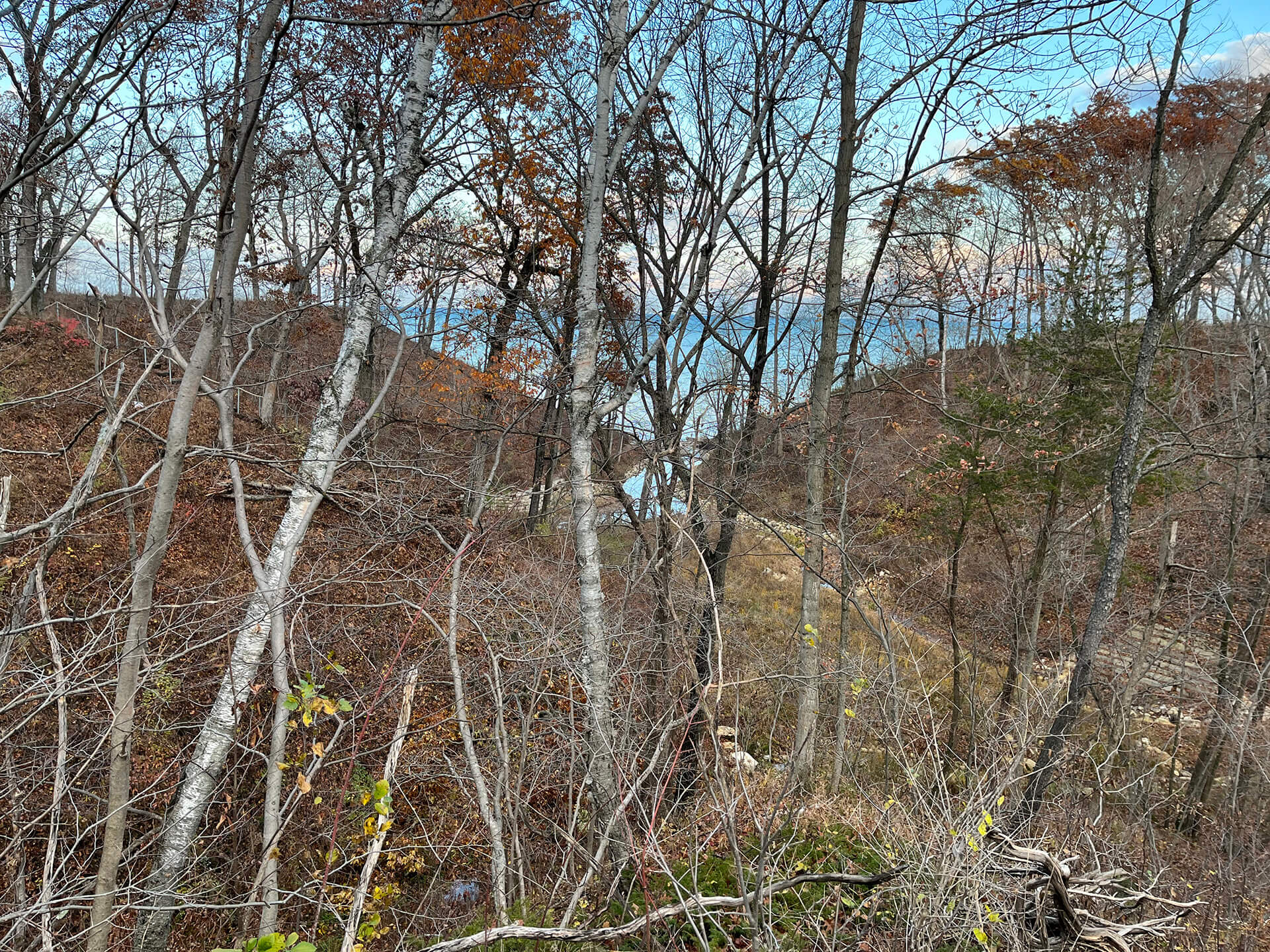
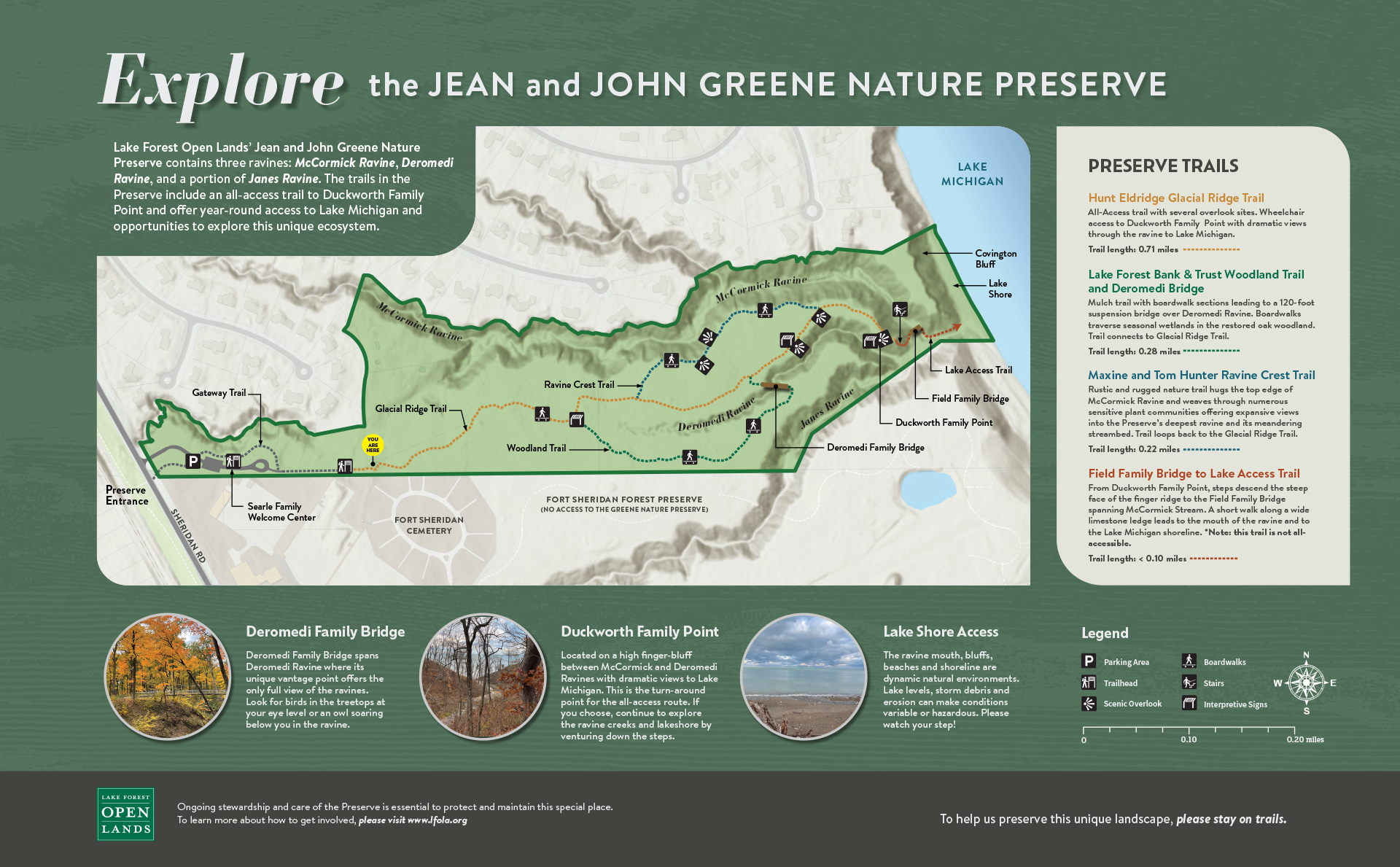
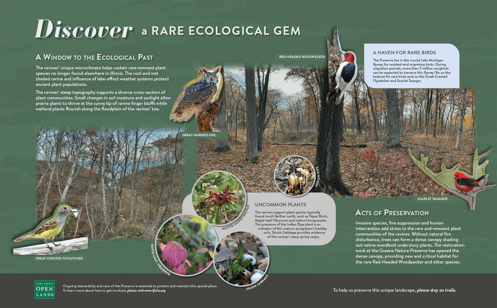
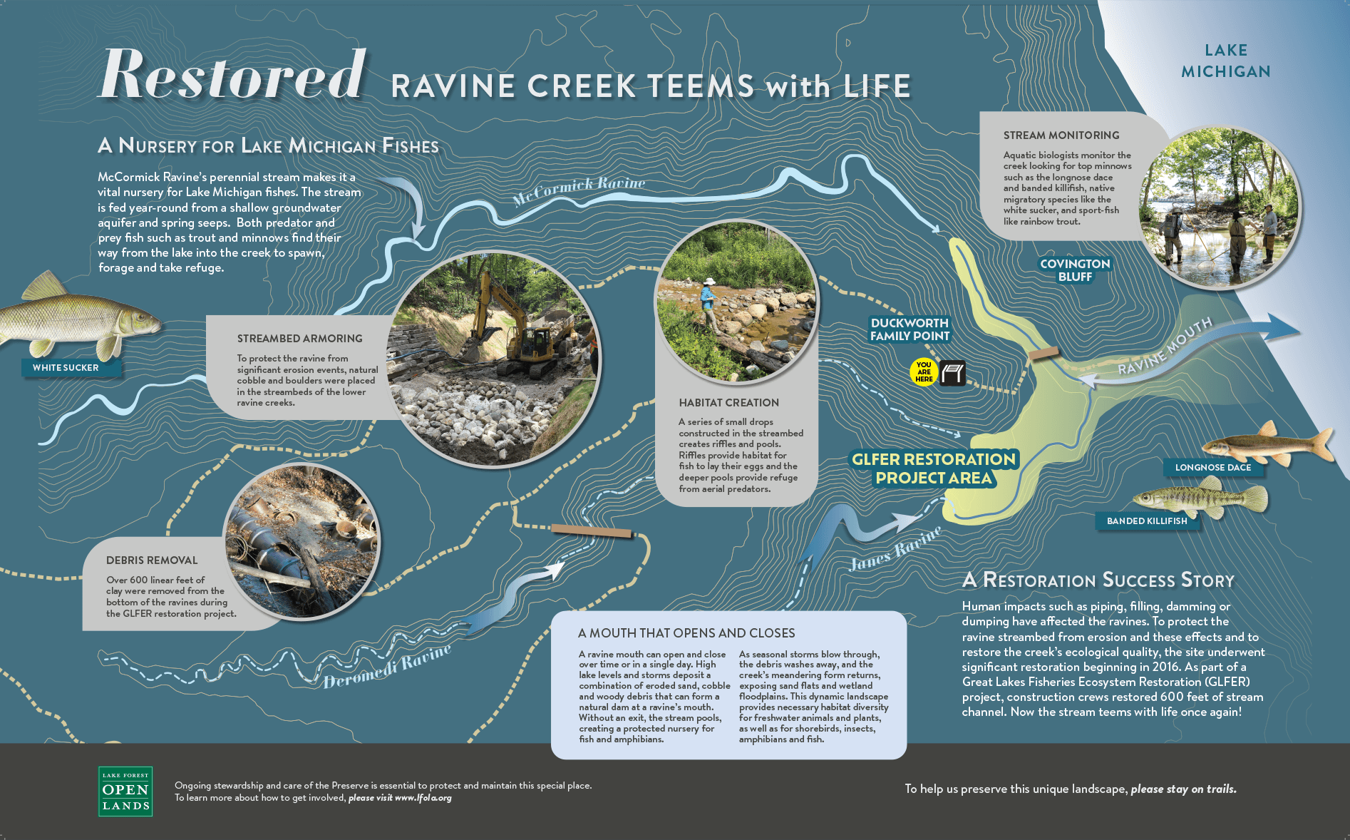
LVB provided interpretive signage thematic consultation, research, photography, copywriting, graphic design development, custom mapping, and custom illustration services for four interpretive trail signs in the new Jean and John Greene Nature Preserve along the Lake Michigan shoreline.
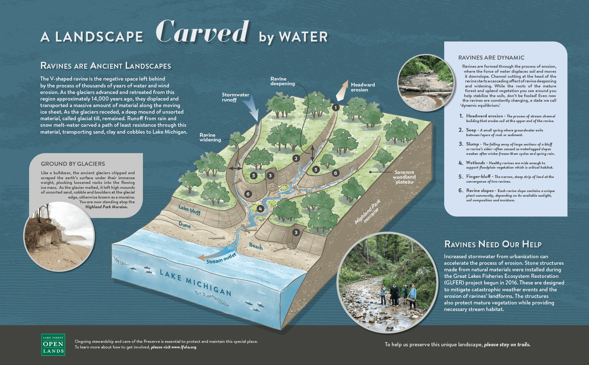
Interpretive panels tell the story of the mature ravine’s unique ecology, geology, and hydrology and Lake Forest Open Land Association’s efforts to preserve and restore the woodland, ravine and creek ecosystems and make the open space accessible to the public.
As part of the project, LVB studied stream restoration documents and researched ravine processes in order to create an illustrative axonomic diagram of ravine formation. LVB also created a new perserve map to depict the park boundaries, trails system, and highlight the ravine topography.
Click image to expand and scroll through interpretive signage designs.

