Illustrated maps | interactive display | Interpretive storytelling
Coastal Prairie Conservation Interactive Map Display
Client: Coastal Prairie Conservancy | 2024-Ongoing
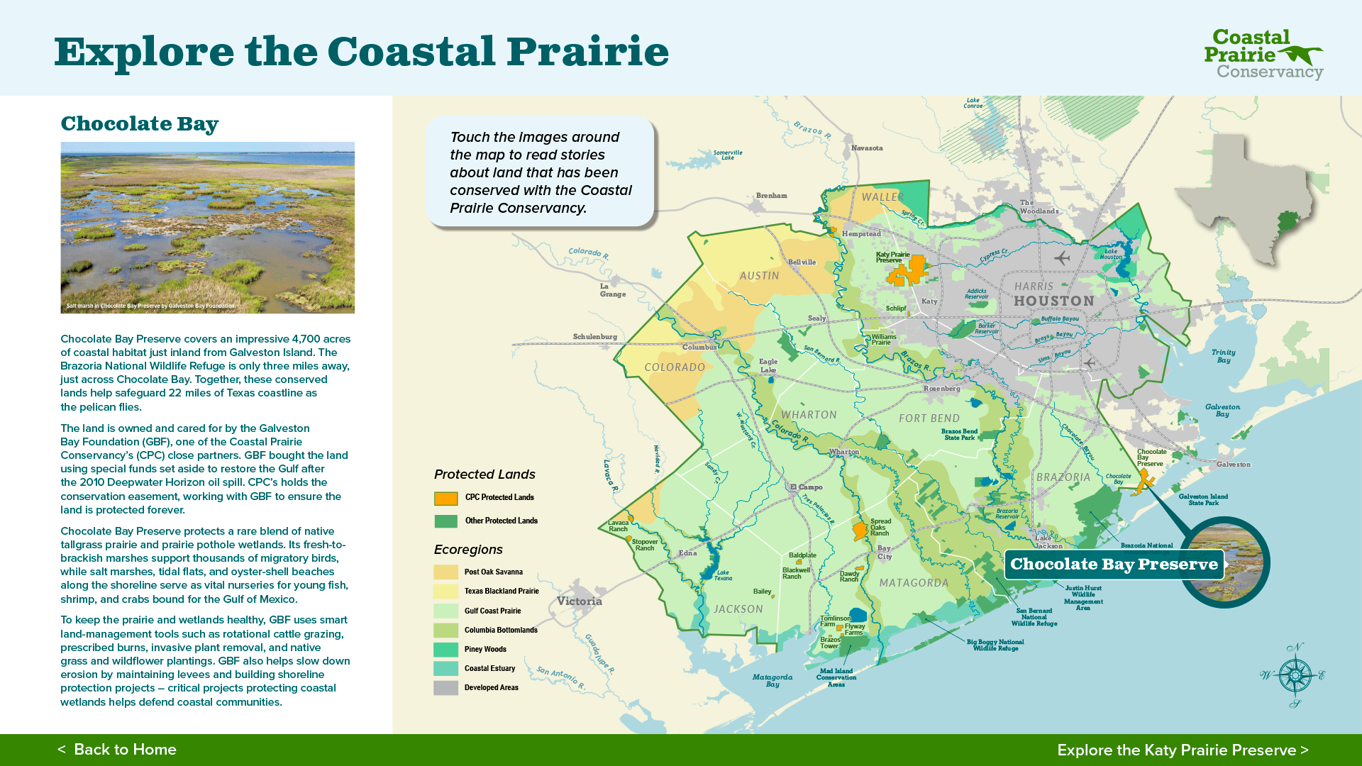
LVBrown Studio developed a series of map products for the Coastal Prairie Conservancy to communicate the land trust’s growing conservation impact in the Gulf Coast Prairie. A regional map showcases lands protected in the ten-county focus area, and the Katy Prairie Preserve map illustrates the nearly 20,000-acre preserve system at the sprawling edge of Houston.
LVB developed basemaps in ArcGIS and stylized them in Adobe graphic design software. We also designed the interactive touch display experience at the new Katy Prairie Welcome Center. LVB identified interpretive themes and wrote stories highlighting the unique landscapes, wildlife, and working lands protected through landowner partnerships and conservation easements. Explore the full map and interactive online stories at explorecoastalprairie.org.